Calm Before the Storm
Current Conditions
Temperature: 38 °F
Dew Point:23 °F
Winds: E 17 mph
Pressure: 1023.4 mb
Visibility: 10 miles
This morning started out overcast with a light snow falling around 9:00 AM. The temperature was 34 °F and winds were SE at 13 mph. As the day progressed the temperature rose slightly to 36 °F
We've got some interesting weather heading towards the Wisconsin area shown in figure 1.
 |
| Figure 1. Surface map of the United States. |
A series of low pressure systems over the Wyoming/Nebraska region are heading towards the area tomorrow and should produce some decent snow cover. Out east the weather has died down from the hurricane force winds and heavy snow/rain that hit earlier last week due to the bomb cyclone. The west is experiencing some precipitation from the low pressure systems but nothing beyond some snow and possible rain.
The low pressure system can also be visualized in a wind map pictured in figure 2.
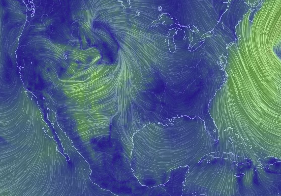 |
| Figure 2. Wind map of the United States. The low pressure system is to the west of Wisconsin. The counterclockwise surface winds indicate the low pressure system. |
Previous Prediction
Yesterday I predicted overcast skies and rain. We did have both but the rain was very brief. In fact, we are experiencing some glimpses of the sun!
No comments:
Post a Comment