Is it Summer Yet?
Current Conditions
Temperature: 67 °FDew Point: 28 °F
Winds: 0 mph
Pressure: 1020.0 mb
Visibility: 10 miles
Today was another beautiful yet uneventful day. This morning's sky consisted of some cirrostratus and cirrocumulus clouds that quickly faded by early morning (figure 1).
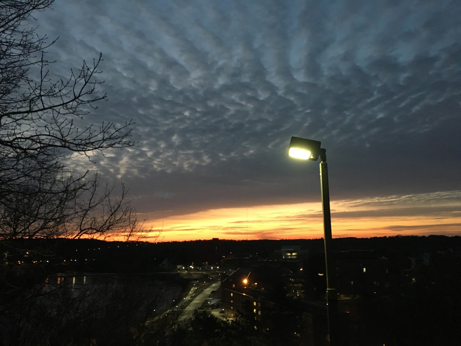 |
| Figure 1. Sunrise on the UW-Eau Claire campus. |
 |
| Figure 2. Weather overview for Eau Claire, WI. |
In the surface map in figure 3, one can see the low pressure system to the west that will be moving into the area tomorrow.
 |
| Figure 3. Surface map of the United States. |
Previous Prediction
Yesterday's prediction was correct; the weather was warmer, even getting up to 70! If I didn't have so much homework I would have spent some of the day outside of the geography lab...Prediction
Tomorrow will be overcast and about 10 degrees colder than today due to some cloud coverage from the low pressure system to the west. This shouldn't produce any precipitation however (figure 4). |
| Figure 4. Forecast surface map for April 24, 2018. |
No comments:
Post a Comment